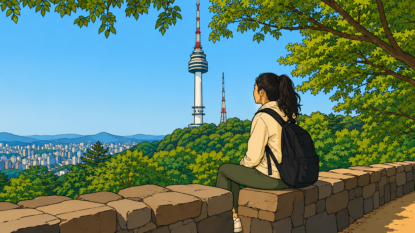

The path didn’t start with a blueprint.
It started with a man climbing a mountain. Dozens of times, starting in the spring of 2023, before a single plank was laid. Kang Byung-keun, Seoul’s chief architect at the time, walked the southern slope of Namsan in every season, tying thin strings around tree trunks to mark where a path might go. If you walk the Namsan Skyforest Trail today and notice a faint mark on a trunk, that’s what it is — the trace of someone deciding, very slowly, where to step.
That slowness is the trail. Everything about the Namsan trail that makes it different from other elevated walkways comes from that decision to take the long way before building anything. And when you’re on it — moving through the canopy, the city somewhere below you, the deck bending around a trunk that nobody was willing to cut — you feel that decision in your body before you understand it in your head.
The Problem the Trail Was Solving
Before the Skyforest Trail existed, getting onto Namsan meant choosing between two bad options.
The cable car takes you up but deposits you at the tower, where the experience often ends rather than begins. The circulation road — the path most walkers used — runs alongside buses and bicycles on a narrow route where a bus overturned on a curve just a few years ago. Neither option put you in the forest. Neither option was available to someone in a wheelchair, pushing a stroller, or simply unwilling to share a road with moving vehicles.
The brief was simpler than it sounds: the kind of walk where you slow down because the path does, where the air changes temperature as the canopy closes overhead, where Seoul is still audible but no longer the point.
One moment you’re looking at tree trunks only a few feet away. The next, the canopy opens and a slice of Seoul appears between the branches. Then the forest closes again and the city disappears.
That constraint is what produced the trail’s most distinctive feature: a gradient that never exceeds 4.6 degrees. Not 5. Not 8. 4.6 — the exact angle at which a wheelchair moves without assistance, a stroller without strain. Every other decision followed from that number.
What 4.6 Degrees Requires
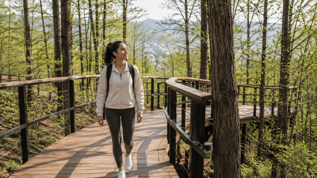
To hold a 4.6-degree gradient on a real hillside, you can’t go straight. The slope of Namsan doesn’t cooperate with straight lines.
So the path zigzags. It takes the long way around every rise, doubling back, switching direction, adding distance to hold the angle. The result is a trail that feels unhurried because it was designed to be — not as an aesthetic choice, but as a structural one. The path is slow because slow was the only way to stay accessible.
That same constraint produced the trail’s width. Most elevated decks are uniform — a standard measurement repeated across the length of the structure. The Namsan trail is not. The deck narrows where a tree trunk is close. It widens at the viewpoints. In some sections, it routes around a root system entirely. In others, the builders cut a hole in the deck so the tree could continue growing up through the structure. Some trunks are so close to the railing that the railing itself had to be notched — trimmed to the exact width of the branch it was accommodating.
Walk slowly enough and you start to read the trail like a record of every negotiation. This bend: a root system that wouldn’t move. That narrowing: a trunk the builders refused to cut. The hole in the deck ahead: a tree that was here first, and stayed.
The irregularity isn’t a design flourish. It’s evidence of every decision made in favor of the forest.
What Gets Left Behind

Near the midpoint of the trail, there is a small structure made of stacked bricks, wood scraps, and bundles of straw. A sign identifies it as an insect hotel — a habitat built for birds and insects to shelter in. The material it’s made from: trees that fell during a heavy snowstorm, salvaged and repurposed rather than cleared away.
The sign has a second line: the information panel itself was made from a fallen Namsan pine.
This is the same logic that runs through the whole trail. Nothing useful gets discarded. The snowstorm debris becomes habitat. The fallen pine becomes a sign. The trees that couldn’t be routed around became the reason the deck has holes in it. Most people walk past the insect hotel without stopping. But if you do stop — if you read the sign and then look back at the deck you just walked, at the holes and the notches and the bends — the trail starts to look different. Less like infrastructure. More like a long, careful conversation with a forest that was already here.
On the deck, at intervals, there are small stickers in the shape of footprints. They mark places where a branch hangs low enough to catch someone walking without paying attention — a gentle redirect, stay left, watch your head. They’re also a reminder to look at what’s been here longer than you have.
The Plaque Nobody Reads
Near the end of the trail, there is a small information panel — the size of a paperback book — that describes how the path was made. It mentions the years of planning, the strings tied around trees, the method of following the contour lines of the hill rather than cutting through them. It does not list the names of the people who built it.
Most completion plaques work the other way. They list everyone involved, in descending order of seniority, in a font large enough to read from several meters away.
This one is easy to miss entirely. You have to be walking slowly to notice it. Which, given the trail, is how most people arrive at it. There’s something about finding it — tucked where it is, saying what it says without anyone’s name attached — that makes you want to stay on the deck a little longer. Not to see more of Seoul. Just to be in the thing that was made this way.
Why the Namsan Skyforest Trail Stays in the Memory
Most urban trails are legible in one visit. You walk them, you see the view, you leave with a complete picture. The Namsan trail is different in one specific way: the more you know about how it was made, the more you see when you walk it.
The hole in the deck where the tree grows through — you notice that differently once you know it was a choice, not a workaround. The railing notched around a branch — that reads differently when you understand the builder’s instruction was to leave every tree exactly as found. The zigzag path that adds ten minutes to the walk — that’s not inefficiency. That’s 4.6 degrees holding.
You can walk it without knowing any of this. Most people do, and they leave satisfied. But there’s a different version of the same walk available to anyone who comes in knowing what went into the shape of it.
You slow down beside a tree growing through the deck and realize the opening around it wasn’t a workaround. It was a decision. A railing bends around a branch because nobody cut it. The path doubles back across the hillside because 4.6 degrees mattered more than efficiency.
The forest stops being a backdrop. The deck stops being a surface. The notches and holes and bends stop being irregularities and start being the whole point.
That shift — the moment a collection of details becomes a readable pattern — is what most timing systems miss entirely looks like on the ground.
That version of the walk is available to you right now. The trail is open. It has been, every hour of every day, since it was finished. No entrance fee. No reservation. Just the path, the trees, and everything the builders refused to cut down.
This post was planned and edited by a human, with AI assistance.